Analyzing the Role of Vegetation in Urban Heat Islands
This project investigates how vegetation influences temperature in urban heat islands. By comparing areas with varying plant cover, students can assess the cooling effects of vegetation.
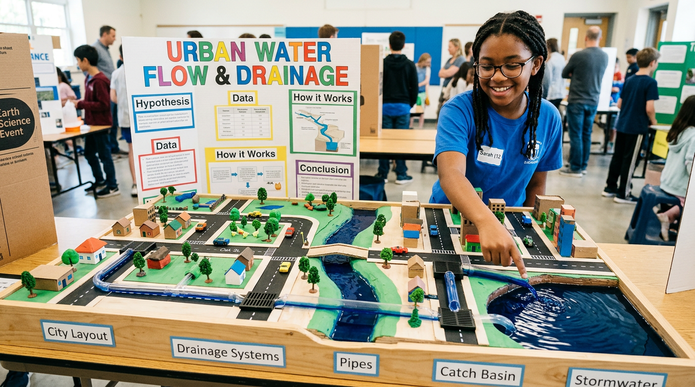
This project involves creating a model of an urban area to study how rainwater flows and collects in different environments. Students will learn about urban hydrology and its impact on water management.

If an urban environment is simulated, then most rainwater will flow toward lower elevations and collect in depressions, illustrating principles of urban water flow.
As an Amazon Associate, this site earns from qualifying purchases.
Shape the modeling clay to build a small urban landscape with hills and valleys.
Place the landscape in the plastic tray.
Position small plants and pebbles to represent vegetation and urban features.
Use sand to create pathways for water flow.
Lightly spray the landscape with water to simulate rain.
Observe and note where water collects and flows.
Use the ruler to measure water depth in different areas.
Record the flow patterns and areas of water accumulation.
Modify the landscape to test different urban layouts.
Discuss the impact of urban planning on water management.
Water is expected to flow towards lower areas and collect in depressions, highlighting how urban landscapes affect water distribution. Modifying the landscape should change water's path.
Urban landscape design
Water flow pattern
Water volume, Tray size, Spray duration
Ensure the workspace is covered to prevent water damage and use non-toxic materials.
Use diagrams to explain changes in water flow with different designs.
Discuss real-life implications of urban planning on flood prevention.
Include photos of the model before and after water flow tests.
It helps understand how water management affects flooding and drainage.
Incorporating more green spaces and permeable surfaces can reduce runoff.
Yes, larger models could include more complex urban features.