
Analyzing the Role of Vegetation in Urban Heat Islands
This project investigates how vegetation influences temperature in urban heat islands. By comparing areas with varying plant cover, students can assess the cooling effects of vegetation.
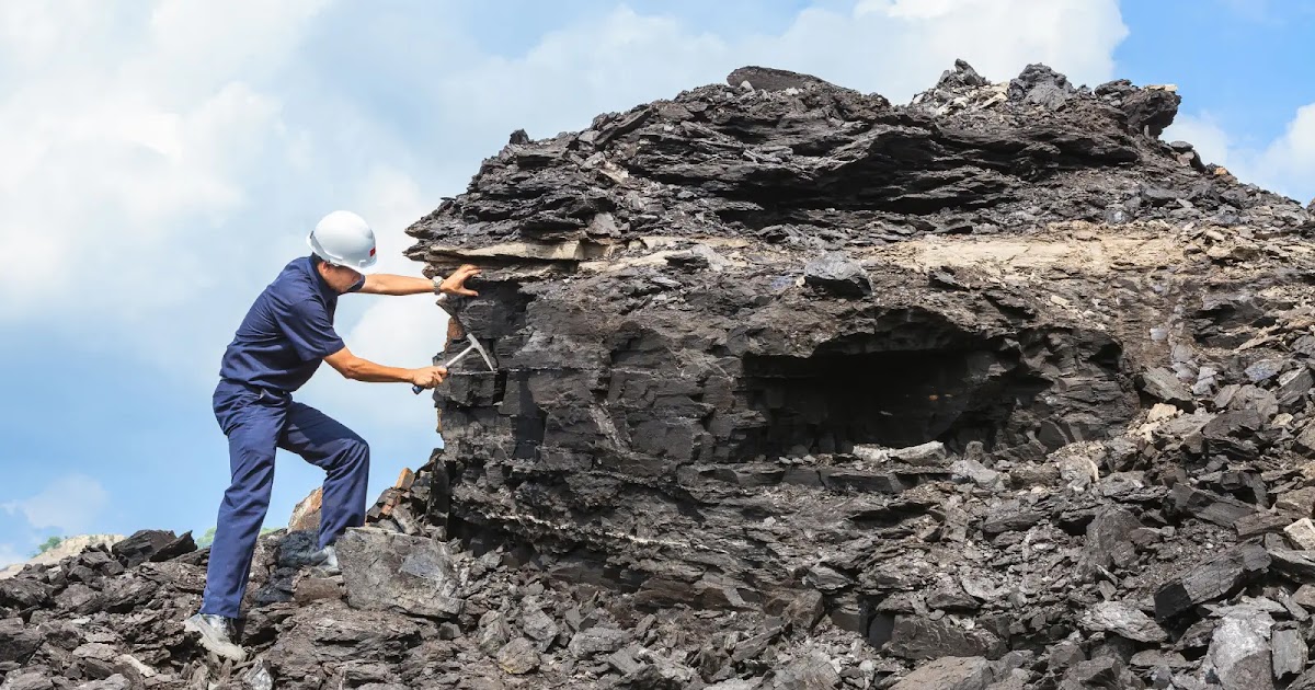
In this project, students collect and analyze rock samples from their local area to uncover geological histories. This hands-on approach offers insights into the earth's processes and the formation of different rock types.

If rock samples from different locations are analyzed, then distinct geological features and histories will be identified based on rock type and composition.
As an Amazon Associate, this site earns from qualifying purchases.
Research the geology of your local area using geological maps.
Select several locations for rock sampling.
Use a rock hammer to collect samples, placing them in labeled plastic bags.
Document the location and characteristics of each sample in your notebook.
Analyze the rock samples using a hand lens and field guide.
Categorize rocks based on type and characteristics.
Create a geological map marking the locations of your samples.
Present findings on the geological history and features of your area.
Upon analysis, students will categorize their collected rock samples and develop a geological map. They should be able to identify the geologic history and types of rocks present in their area.
Location of rock sampling
Types of rocks collected
Sampling tools, Analysis methods, Geological maps used
Wear safety goggles when using a hammer and be cautious of sharp rock edges.
Display a map with labeled sampling locations.
Include photographs of the rocks in your presentation.
Create a chart summarizing rock types and their characteristics.
Engage the audience with questions about local geology.
Provide handouts with geological information and maps.
Focus on igneous, sedimentary, and metamorphic rocks.
Always seek permission before collecting samples on private land.
Wear safety goggles and use the hammer with controlled, careful strikes.